
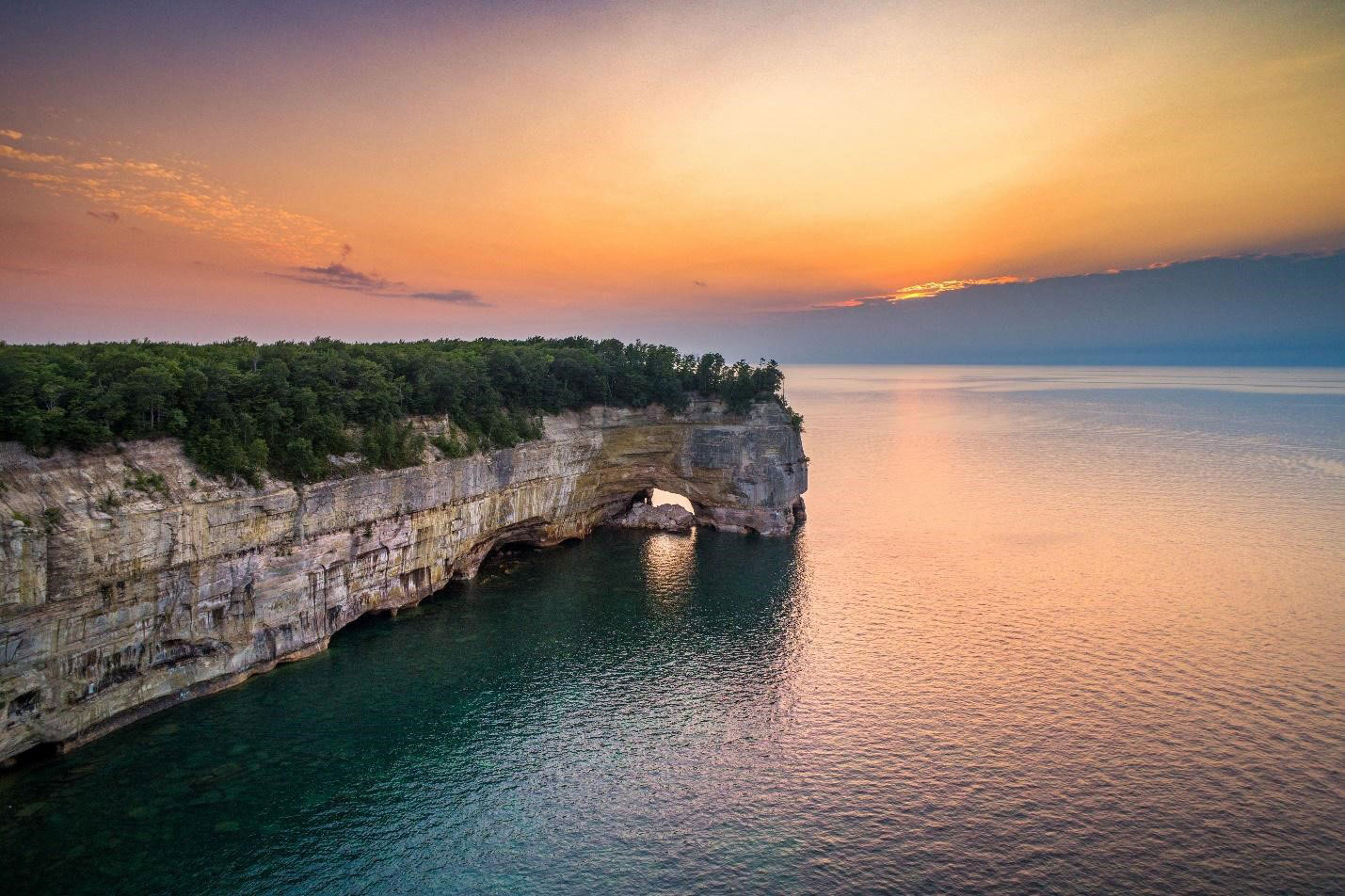
 Grand Portal Point, an archway in the Pictured Rocks National Lakeshore. PC: Munising Visitors Bureau.
There’s no other adventure like an excursion to the Pictured Rocks National Lakeshore. Sandstone cliffs rise 50 to 200 feet straight out of Lake Superior, streaked red and orange by iron, blue and green by copper, black by manganese. Behind them sit white sand beaches, dunes, waterfalls, and a lot of forest, all of it in Michigan’s Upper Peninsula.
Getting from St. Louis to Pictured Rocks is 667 miles and about eleven and a half hours behind the wheel, straight north through Illinois and Wisconsin. No plane ticket, no rental car, no baggage claim. Here’s the route, the stops worth making along the way, and what’s waiting when you reach Munising.
How Do I Get to Pictured Rocks from St. Louis?
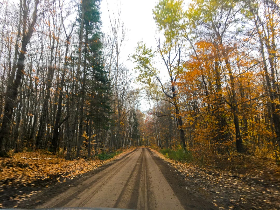 Driving to a trail in Pictured Rocks National Lakeshore.
The route: I-55 north to Springfield, I-39 north through Bloomington and Rockford into Madison, then I-41 and US-41 northeast through the Fox Valley and up the Lake Michigan shore into the Upper Peninsula.
St. Louis to Springfield, IL — 98 miles, about 1 hour 35 minutes
Springfield to Madison, WI — 263 miles, about 3 hours 55 minutes
Madison to Munising, MI — 306 miles, about 6 hours
One thing the mapping apps bury: Munising runs on Eastern time, but Wisconsin and the four westernmost U.P. counties are on Central. You lose the hour somewhere between Menominee and Escanaba. Build that into your arrival plans, especially if you’re trying to make an afternoon cruise the day you arrive.
The drive splits neatly wherever you want it to. Madison sits almost exactly at the halfway mark if you’d rather break it up, and Green Bay is a good late stop if you’d rather push most of the distance on the first leg.
Lincoln, Route 66, and Madison’s Capitol Square
 Stunning view of Wisconsin State Capitol building’s dome against a clear blue sky in Madison.
Your first real stop comes about ninety minutes in. Springfield is where Abraham Lincoln spent seventeen years before the presidency, and the Lincoln Home National Historic Site preserves the only house he ever owned. Tours are free. A few blocks away, the Abraham Lincoln Presidential Library and Museum covers the rest of the story. If you want something quicker, the Cozy Dog Drive In has been serving hot dogs on a stick from the same stretch of old Route 66 since 1949.
Roughly four hours further north, Madison sits on an isthmus between two lakes with the Wisconsin State Capitol in the middle of it. Free tours run daily and the observation deck is worth the stairs. Walk down State Street to the Memorial Union Terrace for a chair by Lake Mendota, or, if you’re passing through on a Saturday morning, the Dane County Farmers’ Market wraps the entire Capitol Square.
Warbirds and Waterfalls: The Final Leg
 P-51A fighter in EAA Museum, Osh Kosh.
North of Madison the route joins US-41 through the Fox Valley. In Oshkosh, the EAA Aviation Museum holds around 200 aircraft, from home-built experimentals to warbirds, and it’s a genuinely good stop even if you’ve never given aviation a second thought.
Closer to the state line, Marinette County calls itself the Waterfall Capital of Wisconsin, and it has the inventory to back it up: fourteen major falls on the county’s official tour, spread along the Peshtigo, Thunder, Pike, and Menominee rivers. Long Slide Falls drops about fifty feet through a rock chute and takes ten minutes to reach from the parking area. Consider it a warm-up for what’s waiting in the U.P.
From there US-41 crosses into Michigan at Menominee and runs up the Lake Michigan shoreline through Escanaba before cutting northeast to Munising. It’s the prettiest stretch of the whole drive, and the traffic thins out and stays thin.
Cruise the Bluffs by Boat
 Pictured Rocks Cruises gliding closely past the painted cliffs in the Pictured Rocks Park. PC: Pictured Rocks Cruises.
View the brilliantly colored cliffs, sea caves, waterfalls and see famous landmarks like Lovers Leap, Miners Castle, Chapel Rock, and Grand Island’s East Channel Lighthouse aboard one of Pictured Rocks Cruises’ 2 to 2 1/2-hour-long tours. They’re the area’s oldest tour company, with four different cruises to choose from, including the famed Sunset Cruise.
The 2026 season runs May 9 through October 18.
Discover the History of Pictured Rocks
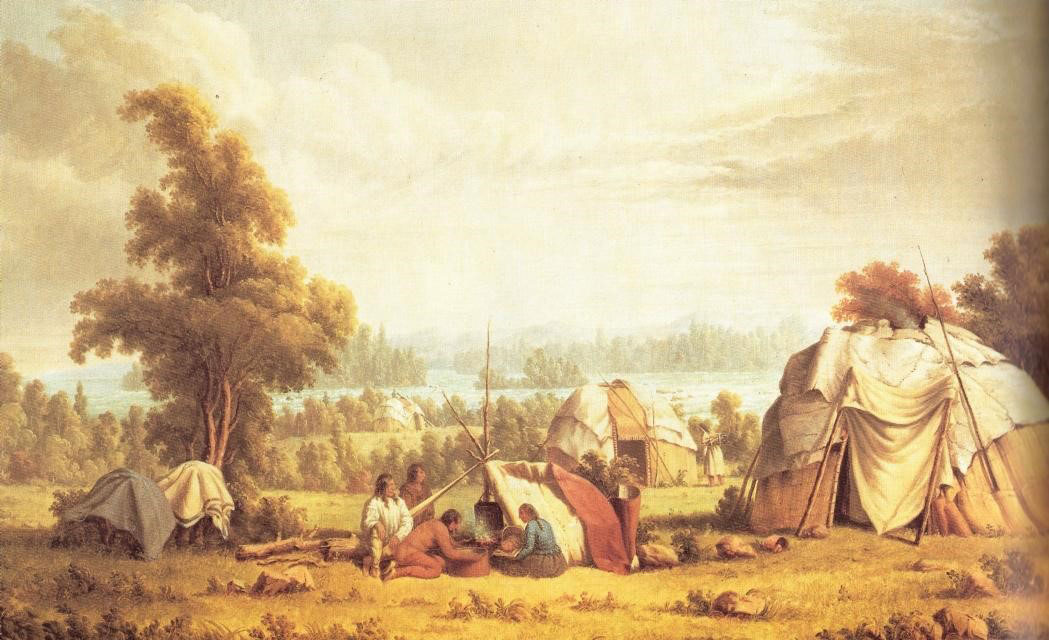 An Ojibwe village in the Upper Peninsula. Artist: Paul Kane (1810 – 1871)
While millions of people have explored the Munising, Grand Island, and Pictured Rocks areas over the last century, Native American tribes have cherished the land for thousands of years.
Learn about their connection to the area on a boat or kayak tour, visit the Pictured Rocks Interpretive Center in downtown Munising near the Pictured Rocks Cruises’ office, or the Alger County Heritage Center.
Chase the Waterfalls of the Pictured Rocks
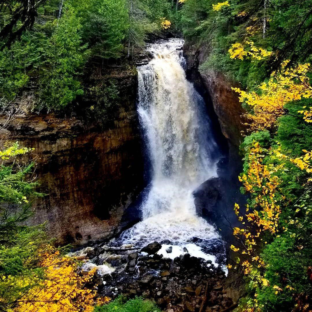 Miners Falls in the Pictured Rocks Park. PC: Munising Visitors Bureau.
You don’t have to travel far in the U.P. to find stunning waterfalls. Seven of them sit inside the park itself, and more than a dozen more are within a short drive of Munising. With the Great Lakes on three sides and countless streams and creeks running to them, the area is overflowing with these gorgeous sights.
Check Out the Fall Colors
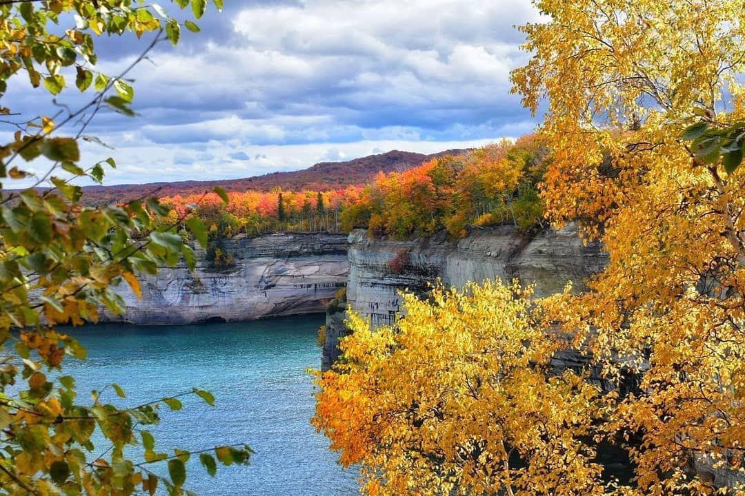 Fall colors at Pictured Rocks. PC: Instagrammer @ alia_jamila
Although the lakeshore is a popular summer destination for travelers, rich shades of red, orange, and yellow blanket the thick treetops that surround the colorful sandstone cliffs in the fall. Cruise H-58, the scenic drive throughout the Pictured Rocks, and stop along the way at the many scenic overlooks to take photos. Cruises run into mid-October, which puts the tail end of the season right in peak color.
Kayak Through Sea Caves
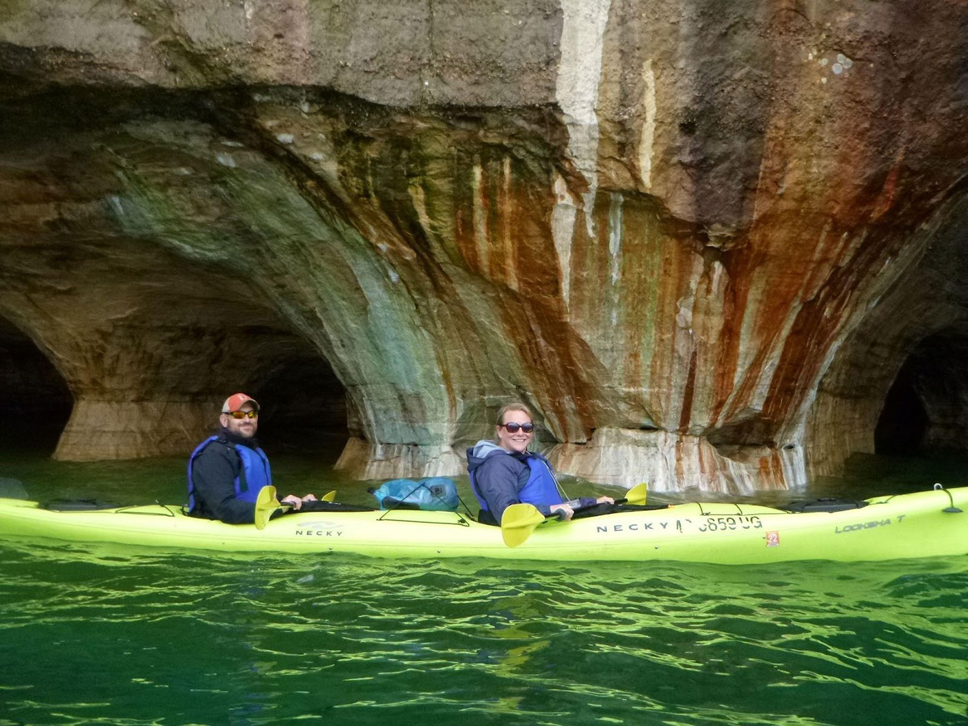 Paddling along sea caves and coves is one of the many attractions on a kayak tour. PC: Pictured Rocks Kayaking.
With Pictured Rocks Kayaking, paddlers take in the beauty of the park during a relaxing boat ride before being launched into the water to kayak near gigantic archways, formations and through sea caves and coves. They’re the only outfitter in the area that launches kayakers offshore from a support boat, which means you skip the long paddle out and spend your time where the cliffs actually are.
Explore the Best Scenic Trails
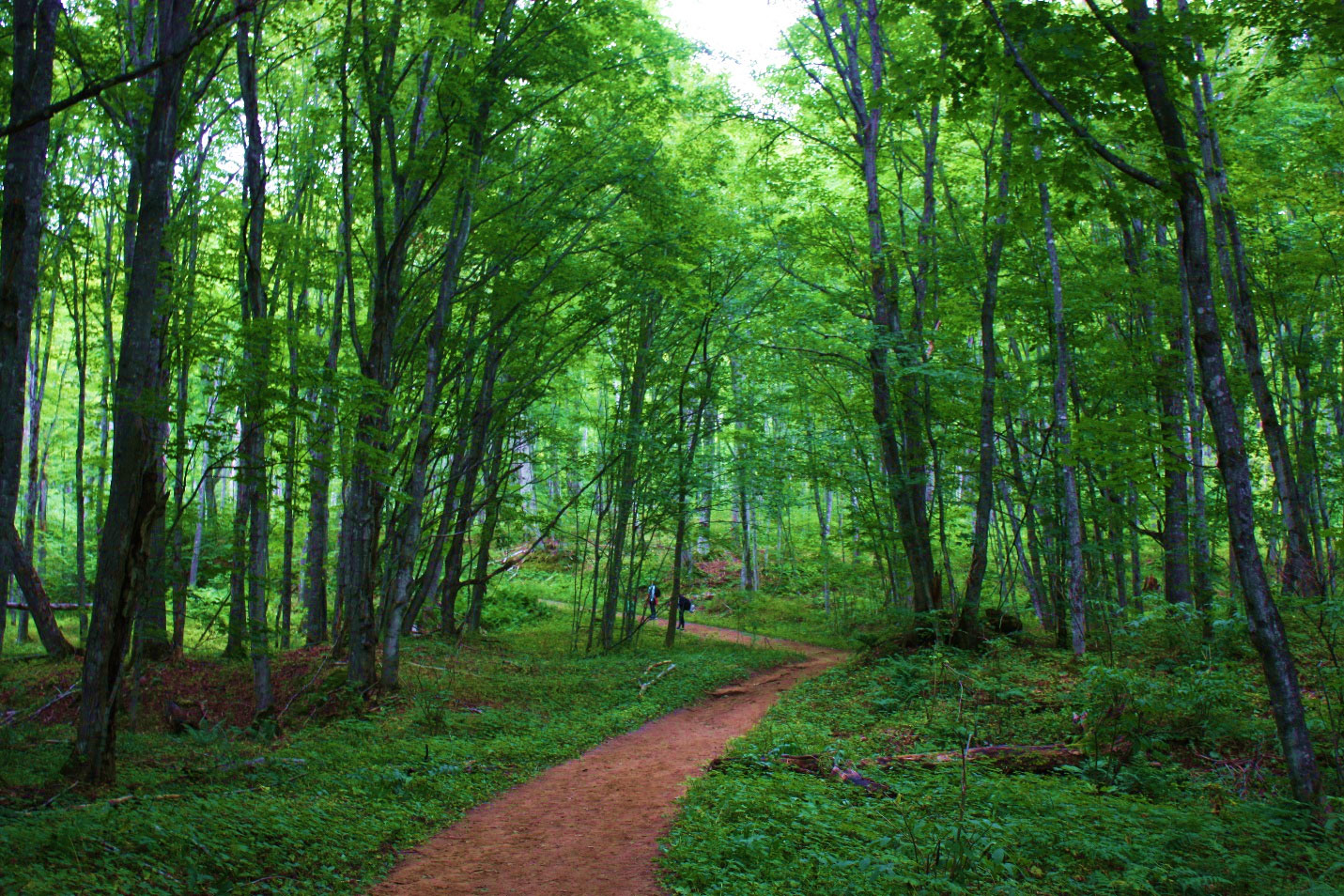 Chapel Basin trail. PC: Instagrammer @maymiejameson
Whether you’re looking for a short walk, a day-long excursion, or a backpacking trip, Pictured Rocks has trails for it. The North Country Trail runs the length of the lakeshore along the clifftops, and the nearby Hiawatha National Forest adds a slew of hiking and biking options.
Visit the Grand Sable Sand Dunes
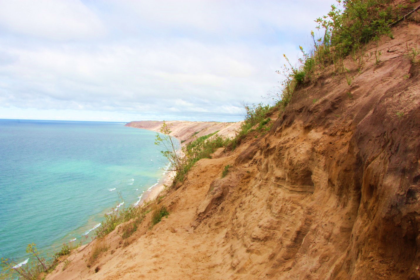 Grand Sable Dunes at the Log Slide Overlook. PC: Instagrammer @maymiejameson
Grand Sable Dunes are the highest formation in the park, rising more than 300 feet above the lake. Visit the Log Slide, where loggers once rolled timber down a fast chute over the dunes into the water, and Sable Falls is close by and equally beautiful.
Trek to a Historic Lighthouse
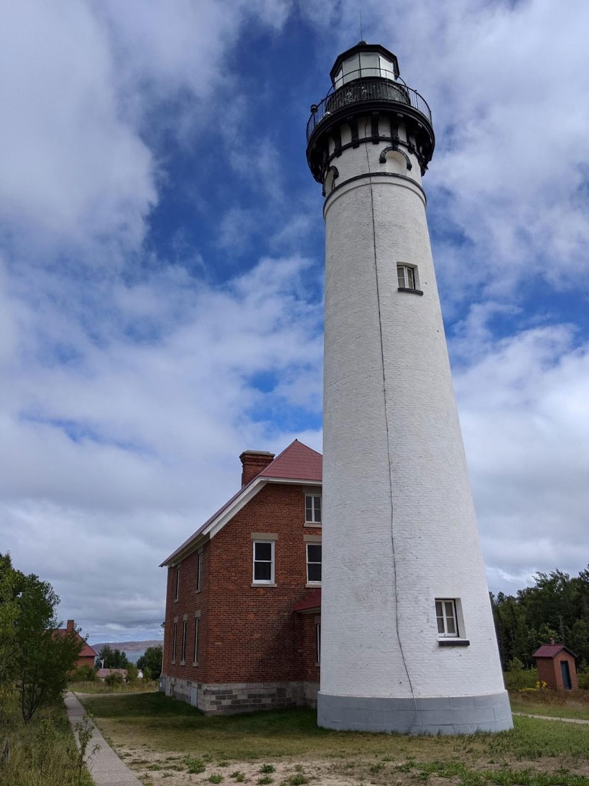 Au Sable Light Station. PC: Instagrammer @maymiejameson
With shipwrecks and lighthouses strewn along the lakeshore, visitors can easily discover the area’s maritime history. Built in the mid-1800s, the 86-foot-high tower at the Au Sable Light Station is found after a 1 ½-mile (one way) walk along an old wooded U.S. Coast Guard road. Tours are available in the summer and early fall.
Book a place to stay before you leave home. Munising is a small town and summer weekends fill up, but there are lakeside hotels, cabins in the woods, and rustic and modern campgrounds in the area. Book your cruise at the same time. After eleven and a half hours in the car, the last thing you want is to find the boat sold out.